Wolfhole Crag
Mountain in northwest England

Wolfhole Crag
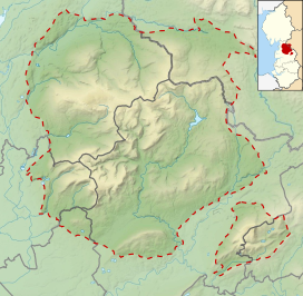
Location in the Forest of Bowland
Show map of the Forest of Bowland
Wolfhole Crag
Location in Lancashire
Show map of Lancashire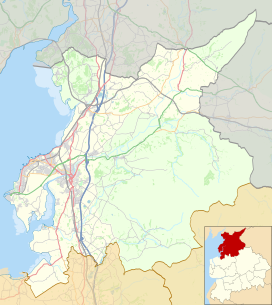
Wolfhole Crag
Location in the City of Lancaster district
Show map of the City of Lancaster district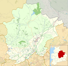
Wolfhole Crag
Location in Ribble Valley Borough
Show map of the Borough of Ribble ValleyWolfhole Crag is an isolated and seldom-visited hill in the Forest of Bowland in Lancashire, England. It has an elevation of 527 m (1,729 ft) and a prominence of 38 m (125 ft).[1] Its seclusion is due in part to its low profile and long approach walks. The East crag has a 'Wolf hole' at the base of the south-facing side, presumably how it originally gained the name. Wolfhole Crag marks the northwesternmost boundary of the civil parish of Bowland Forest High, the historic Forest of Bowland, and the Lordship of Bowland.
A long path approaches from Ward's Stone in the west which is fraught with bogs. Another tarmac path from Tarnbrook meets this halfway. A final path comes from the northeast from the Hornby Road in the direction to White Hill. The summit consists of two large (10m high) buttresses of gritstone, some unusually shaped waist-high rocks, and the usual trig point. The buttresses contain a number of recorded rock climbs, including the two farthest "hard grit" routes (E7 & E6) from the road in the entire UK. Both climbs were ascended in 2001 by Neil Kershaw and Greg Chapman. It is quite possible to not see another human being all day there.
References
- ^ a b "Wolfhole Crag". Hill Bagging. Database of British and Irish Hills. Retrieved 2 February 2024.
- v
- t
- e
Geography of the Borough of Ribble Valley
- Clitheroe
- Longridge
& suburbs
- Balderstone
- Barrow
- Bashall Eaves
- Billington
- Bolton-by-Bowland
- Brockhall Village
- Chatburn
- Chipping
- Clayton-le-Dale
- Dinckley
- Downham
- Dunsop Bridge
- Gisburn
- Great Mitton
- Grindleton
- Horton
- Hurst Green
- Langho
- Low Moor
- Mellor Brook
- Mellor
- Middop
- Newsholme
- Newton
- Osbaldeston
- Paythorne
- Pendleton
- Read
- Ribchester
- Rimington
- Sabden
- Salesbury
- Sawley
- Simonstone
- Slaidburn
- Stydd
- Tosside
- Twiston
- Waddington
- West Bradford
- Whalley
- Whitewell
- Wilpshire
- Wiswell
- Worston
- York
- Aighton, Bailey and Chaigley
- Balderstone
- Bashall Eaves
- Billington and Langho
- Bolton-by-Bowland
- Bowland Forest High
- Bowland Forest Low
- Bowland-with-Leagram
- Chatburn
- Chipping
- Clayton-le-Dale
- Clitheroe
- Dinckley
- Downham
- Dutton
- Easington
- Gisburn
- Gisburn Forest
- Great Mitton
- Grindleton
- Horton
- Hothersall
- Little Mitton
- Longridge
- Mearley
- Mellor
- Middop
- Newsholme
- Newton
- Osbaldeston
- Paythorne
- Pendleton
- Ramsgreave
- Read
- Ribchester
- Rimington
- Sabden
- Salesbury
- Sawley
- Simonstone
- Slaidburn
- Thornley-with-Wheatley
- Twiston
- Waddington
- West Bradford
- Whalley
- Wilpshire
- Wiswell
- Worston
| Footpaths | |
|---|---|
| Hills |
|
| Waterways | |
 | This Lancashire location article is a stub. You can help Wikipedia by expanding it. |
- v
- t
- e


