Mwandi District
District in Western Province, Zambia
Mwandi District | |
|---|---|
District | |
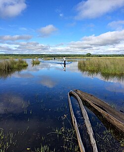 Landscape in Mwandi District | |
 District location in Zambia | |
| Country |  Zambia Zambia |
| Province | Western Province |
| Area | |
| • Total | 5,732.4 km2 (2,213.3 sq mi) |
| Population (2022) | |
| • Total | 40,418 |
| • Density | 7.1/km2 (18/sq mi) |
| Time zone | UTC+2 (CAT) |
Mwandi District is a district of Zambia, located in Western Province.[1] The capital lies at Mwandi. It was separated from Sesheke District in 2012.[2] As of the 2022 Zambian Census, the district had a population of 40,418 people.[3]
References
- v
- t
- e
Districts of Zambia- Chibombo
- Chisamba
- Chitambo
- Kabwe
- Kapiri Mposhi
- Luano
- Mkushi
- Mumbwa
- Ngabwe
- Serenje
- Shibuyunji
15°00′S 22°30′E / 15.000°S 22.500°E / -15.000; 22.500
 | This Zambia location article is a stub. You can help Wikipedia by expanding it. |
- v
- t
- e


