Ladysmith Airport
Airport in KwaZulu-Natal, South Africa

LAY
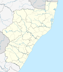
Location in KwaZulu-Natal
| Direction | Length | Surface | |
|---|---|---|---|
| m | ft | ||
| 11/29 | 1,200 | 3,937 | Asphalt |
Ladysmith Airport (IATA: LAY, ICAO: FALY) is an airport serving Ladysmith,[1] a town in the KwaZulu-Natal province in South Africa.
Facilities
The airport is located on the outskirts of town just below Platrand at 28°34′48″S 29°45′10″E / 28.58000°S 29.75278°E / -28.58000; 29.75278 (Ladysmith Aerodrome) at an elevation of 3,548 feet (1,081 m) above mean sea level. It has one runway designated 11/29 with an asphalt surface measuring 1,200 by 15 metres (3,937 ft × 49 ft).[1] NDB is LY397.5 and VOR is LYV116.5. The airport is now managed by JetVision Airports Pty Ltd,
References
- ^ a b c "Aerodrome chart for FALY – LADYSMITH" (PDF). South African Civil Aviation Authority. 8 July 2004. Archived from the original (PDF) on 19 July 2011.
- ^ Airport information for FALY[usurped] from DAFIF (effective October 2006)
- ^ Airport information for LAY at Great Circle Mapper. Source: DAFIF (effective October 2006).
External links
- Accident history for LAY at Aviation Safety Network


