Hohen Neuendorf station
- Berlin Northern Railway (KBS 200.1)
| Preceding station | Berlin S-Bahn | Following station | ||
|---|---|---|---|---|
| Birkenwerder towards Oranienburg | S1 | Frohnau towards Wannsee | ||
| Birkenwerder Terminus | S8 | Bergfelde towards Wildau | ||

Location | |
|---|---|
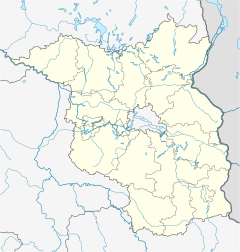  Hohen Neuendorf Location within Brandenburg Show map of Brandenburg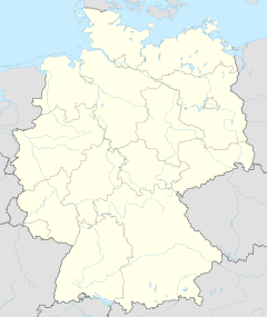 Hohen Neuendorf Location within Germany Show map of Germany Hohen Neuendorf Location within Europe Show map of Europe |
Hohen Neuendorf (in German S-Bahnhof Hohen Neuendorf) is a railway station in the town of Hohen Neuendorf, Germany. It is served by the Berlin S-Bahn and by several local buses.
On 13 August 1961, the S-Bahn line to Oranienburg was cut off by the Berlin Wall, and it was only from Hohen Neuendorf to Oranienburg as a shuttle and a lonely, not connected line. It was only connected on 19 November 1961 to the rest of the East Berlin S-Bahn. The West Berlin section from Hohen Neuendorf to Frohnau was later reconstructed since February 1991 and reopened on 31 May 1992. In addition, the southern exit from Hohen Neuendorf was also closed.
References
- ^ Eisenbahnatlas Deutschland (German railway atlas) (2009/2010 ed.). Schweers + Wall. 2009. ISBN 978-3-89494-139-0.
- ^ "Stationspreisliste 2024" [Station price list 2024] (PDF) (in German). DB Station&Service. 24 April 2023. Retrieved 29 November 2023.
- ^ "Der VBB-Tarif: Aufteilung des Verbundgebietes in Tarifwaben und Tarifbereiche" (PDF). Verkehrsbetrieb Potsdam. Verkehrsverbund Berlin-Brandenburg. 1 January 2017. Retrieved 25 November 2019.
External links
- Station information (in German)
| Authority control databases |
|
|---|
52°40′06″N 13°17′13″E / 52.6684°N 13.2870°E / 52.6684; 13.2870
- v
- t
- e
This article about a railway station in Brandenburg is a stub. You can help Wikipedia by expanding it. |
- v
- t
- e


