El Escondido

El Escondido
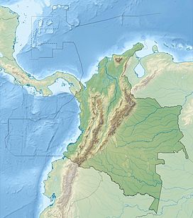
Location of El Escondido in Colombia
 Colombia
Andean Volcanic Belt
El Escondido (Spanish for "The Hidden One") is a volcano of the Central Ranges of the Colombian Andes in the department of Caldas. The volcano is approximately 1,700 metres (5,600 ft) high.
The volcano, a pyroclastic ring, was discovered in the Selva de Florencia National Natural Park in Samaná,[1] in 2013 based on volcanic products of the volcano, different from those of San Diego to the northeast.[2] The volcano formed approximately 30,000 years ago.[3] The volcano overlies the Early Eocene Florencia Stock.[4]
See also
References
Bibliography
- Ortiz Ángel, Sandra Victoria (2015), El Servicio Geológico Colombiano descubre volcán en el oriente de Caldas (PDF), Servicio Geológico Colombiano, p. 1, retrieved 2017-09-24
- Monsalve, María Luisa (2015), Entrevista a la geóloga María Luisa Monsalve sobre el volcán El Escondido, La Patria, pp. 03:25, retrieved 2017-09-24
Maps
- Gómez, J.; Montes, N.E.; Nivia, Á.; Diederix, H. (2015), Plancha 5-09 del Atlas Geológico de Colombia 2015 – escala 1:500,000, Servicio Geológico Colombiano, p. 1, retrieved 2017-09-24
- González I., Humberto (1990), Mapa Geológico de Caldas 1:250,000, INGEOMINAS, p. 1, retrieved 2017-09-21
- v
- t
- e


- Alto Mellizos
- Las Ánimas
- Bordoncillo
- Cerro Bravo
- Cerro Machín
- Doña Juana
- El Escondido
- Galeras
- Morasurco
- Nevado El Cisne
- Nevado del Huila
- Nevado del Quindío
- Nevado del Ruiz
- Nevado de Santa Isabel
- Nevado del Tolima
- Patascoy
- Petacas
- Puracé
- Romeral
- San Diego
- Sotará
- • "Observatorios Vulcanológicos". Servicio Geológico de Colombia.
 Category • Images


