Blosser Municipal Airport
Airport in Cloud County, Kansas, U.S.
39°32′57″N 097°39′08″W / 39.54917°N 97.65222°W / 39.54917; -97.65222
- IATA: CNK
- ICAO: KCNK
- FAA LID: CNK
| Direction | Length | Surface | |
|---|---|---|---|
| ft | m | ||
| 17/35 | 3,600 | 1,097 | Asphalt |
| 12/30 | 2,205 | 672 | Turf |
| 3/21 | 1,665 | 507 | Turf |
| Aircraft operations | 14,550 |
|---|---|
| Based aircraft | 9 |
Source: Federal Aviation Administration[1]
Blosser Municipal Airport (IATA: CNK, ICAO: KCNK, FAA LID: CNK) is two miles south of Concordia, in Cloud County, Kansas, United States.[1] The airport was named after Charles H. Blosser, a longtime Concordia resident, aviation enthusiast, and former city mayor. It is on land originally owned by the Blosser family.
Facilities
The airport covers 209 acres (85 ha); its one asphalt runway (17/35) is 3,600 ft × 60 ft (1,097 m × 18 m). It has two turf runways: 12/30 is 2,205 ft × 265 ft (672 m × 81 m) and 3/21 is 1,665 ft × 255 ft (507 m × 78 m).[1]
In the year ending July 24, 2007 the airport had 14,550 aircraft operations, average 39 per day: 97% general aviation and 3% military. Nine aircraft were then based at the airport: eight single-engine and one ultralight.[1]
History
In 1930, Charlie Blosser laid the first dirt airstrip on his farm.[2] He later donated the land to the city for airport use.[3]
Gallery
-
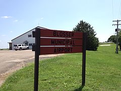 Airport welcome sign
 -
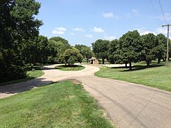 View of Airport Park
 -
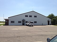 Main building
 -
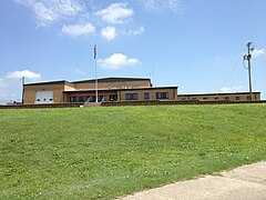 The Kansas Army National Guard Armory is in the airport complex.
 - Video panorama of airport from ground level


See also
References
External links
- Resources for this airport:
- FAA airport information for CNK
- AirNav airport information for KCNK
- ASN accident history for CNK
- FlightAware airport information and live flight tracker
- NOAA/NWS weather observations: current, past three days
- SkyVector aeronautical chart, Terminal Procedures
- v
- t
- e
This article about a building or structure in Kansas is a stub. You can help Wikipedia by expanding it. |
- v
- t
- e


